United States map, blank and labeled
United States Map
blank and labeled · puzzleprintery.com
blank and labeled · puzzleprintery.com
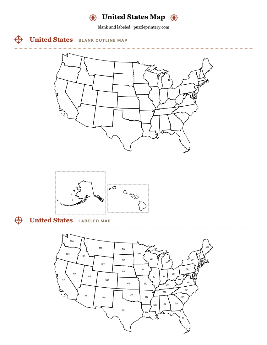
Two free printable maps of the United States: a blank outline of the 50 states and a labeled version with postal abbreviations. Print from this page or download the PDF.
- The map shows the 50 states and the District of Columbia; the 50 states contain 3,143 counties and county-equivalents in the 2023 boundary files.
- The contiguous states are drawn in an Albers equal-area conic projection (standard parallels 29.5 and 45.5 degrees north), the projection most U.S. atlases use. Alaska and Hawaii are insets, not to scale with the other states.
- Boundaries: U.S. Census Bureau cartographic boundary files, 2023, 1:20,000,000. Public domain.
- On the labeled map, 5 small states and the District of Columbia are numbered and listed in a key because a two-letter abbreviation does not fit inside them.
United Statesblank outline map
United Stateslabeled map
Numbered on the map
- 1 District of Columbia (DC)
- 2 Delaware (DE)
- 3 Maryland (MD)
- 4 New Hampshire (NH)
- 5 New Jersey (NJ)
- 6 Rhode Island (RI)
Labels: a state gets its postal abbreviation where the abbreviation fits inside it at 7 point type; the rest are numbered and keyed.