New Hampshire outline and county maps
New Hampshire Map
outline and county maps · puzzleprintery.com
outline and county maps · puzzleprintery.com
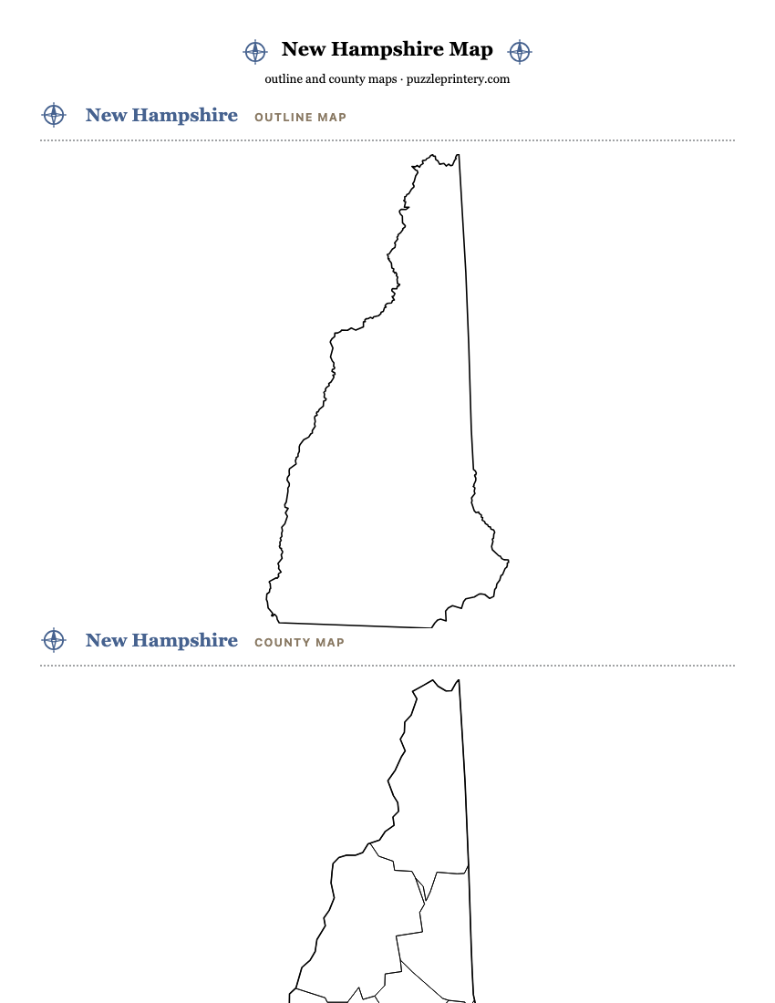
Three free printable maps of New Hampshire, each on its own page: a blank state outline, a blank county map, and a county map with every name on it. All three print on one Letter sheet and all three come as a PDF.
- New Hampshire has 10 counties.
- Boundaries are drawn from U.S. Census Bureau cartographic boundary files, 2023 vintage: the state outline at 1:5,000,000 and county lines at 1:20,000,000. Public domain.
- Each map fits one Letter sheet (8.5 x 11 in) with the state up to 7 inches wide; the on-screen sheet and the PDF are the same drawing.
- On the labeled map, every one of the 10 names prints inside its area.
All 10 counties
Alphabetical, with the five-digit Census FIPS code each one is filed under.
- Belknap County33001
- Carroll County33003
- Cheshire County33005
- Coos County33007
- Grafton County33009
- Hillsborough County33011
- Merrimack County33013
- Rockingham County33015
- Strafford County33017
- Sullivan County33019