North Dakota outline and county maps
North Dakota Map
outline and county maps · puzzleprintery.com
outline and county maps · puzzleprintery.com
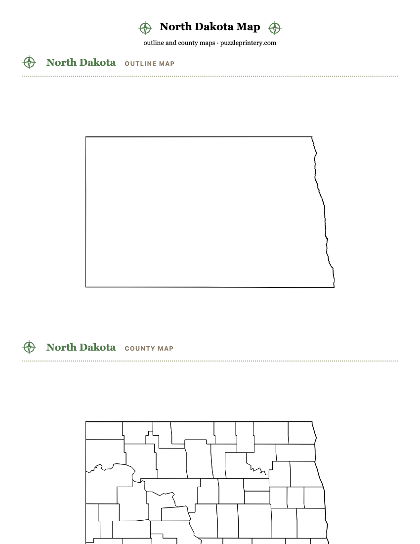
Three free printable maps of North Dakota, each on its own page: a blank state outline, a blank county map, and a county map with every name on it. All three print on one Letter sheet and all three come as a PDF.
- North Dakota has 53 counties.
- Boundaries are drawn from U.S. Census Bureau cartographic boundary files, 2023 vintage: the state outline at 1:5,000,000 and county lines at 1:20,000,000. Public domain.
- Each map fits one Letter sheet (8.5 x 11 in) with the state up to 7 inches wide; the on-screen sheet and the PDF are the same drawing.
- On the labeled map, every one of the 53 names prints inside its area.
All 53 counties
Alphabetical, with the five-digit Census FIPS code each one is filed under.
- Adams County38001
- Barnes County38003
- Benson County38005
- Billings County38007
- Bottineau County38009
- Bowman County38011
- Burke County38013
- Burleigh County38015
- Cass County38017
- Cavalier County38019
- Dickey County38021
- Divide County38023
- Dunn County38025
- Eddy County38027
- Emmons County38029
- Foster County38031
- Golden Valley County38033
- Grand Forks County38035
- Grant County38037
- Griggs County38039
- Hettinger County38041
- Kidder County38043
- LaMoure County38045
- Logan County38047
- McHenry County38049
- McIntosh County38051
- McKenzie County38053
- McLean County38055
- Mercer County38057
- Morton County38059
- Mountrail County38061
- Nelson County38063
- Oliver County38065
- Pembina County38067
- Pierce County38069
- Ramsey County38071
- Ransom County38073
- Renville County38075
- Richland County38077
- Rolette County38079
- Sargent County38081
- Sheridan County38083
- Sioux County38085
- Slope County38087
- Stark County38089
- Steele County38091
- Stutsman County38093
- Towner County38095
- Traill County38097
- Walsh County38099
- Ward County38101
- Wells County38103
- Williams County38105