Washington outline and county maps
Washington Map
outline and county maps · puzzleprintery.com
outline and county maps · puzzleprintery.com
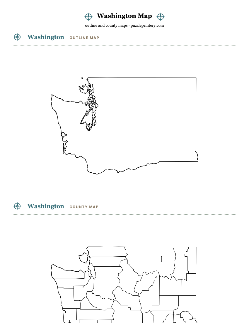
Three free printable maps of Washington: a blank state outline, a blank county map, and a county map with names. Print any of them straight from this page or download the PDF; each one fills a single Letter sheet.
- Washington has 39 counties.
- Boundaries are drawn from U.S. Census Bureau cartographic boundary files, 2023 vintage: the state outline at 1:5,000,000 and county lines at 1:20,000,000. Public domain.
- Each map fits one Letter sheet (8.5 x 11 in) with the state up to 7 inches wide; the on-screen sheet and the PDF are the same drawing.
- On the labeled map, every one of the 39 names prints inside its area.
Washingtonoutline map
Washingtoncounty map
Washingtoncounty map with names
How names are placed: A name is printed only where it fits inside its area at 4 to 8 point type, on one line or two, using no more than 85 percent of the widest horizontal run through the label point. Anything smaller gets a number, listed in the key in county code order. Line art is black in the PDFs; the state outline is drawn on top of the county lines.
All 39 counties
- Adams County
- Asotin County
- Benton County
- Chelan County
- Clallam County
- Clark County
- Columbia County
- Cowlitz County
- Douglas County
- Ferry County
- Franklin County
- Garfield County
- Grant County
- Grays Harbor County
- Island County
- Jefferson County
- King County
- Kitsap County
- Kittitas County
- Klickitat County
- Lewis County
- Lincoln County
- Mason County
- Okanogan County
- Pacific County
- Pend Oreille County
- Pierce County
- San Juan County
- Skagit County
- Skamania County
- Snohomish County
- Spokane County
- Stevens County
- Thurston County
- Wahkiakum County
- Walla Walla County
- Whatcom County
- Whitman County
- Yakima County